Analyze Earth, Uncover Value.
Protect your property rights and secure your investments with precise, professional land surveying services.
Protect your property rights and secure your investments with precise, professional land surveying services.
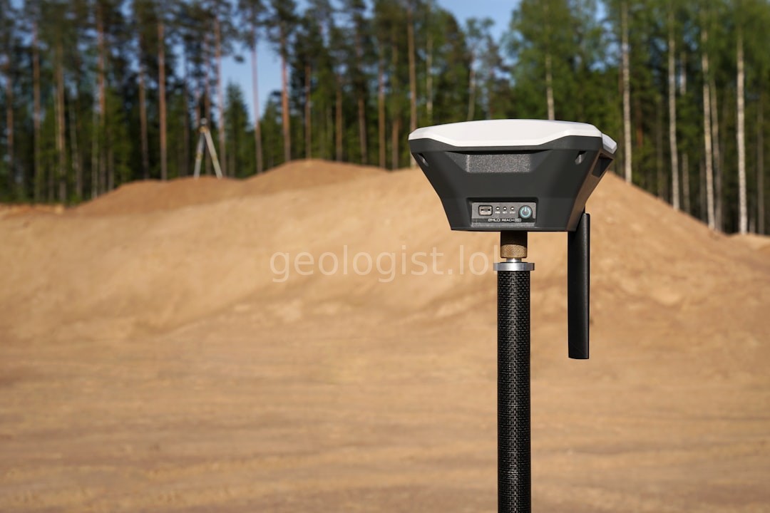
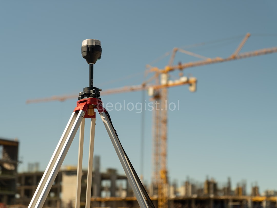
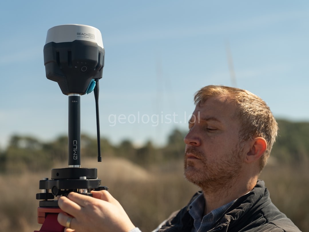
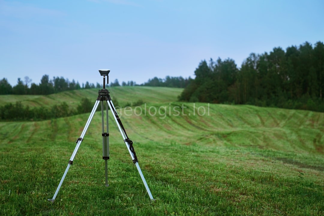
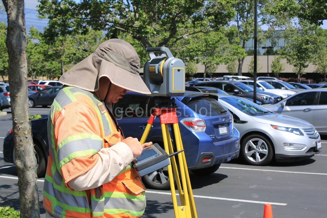
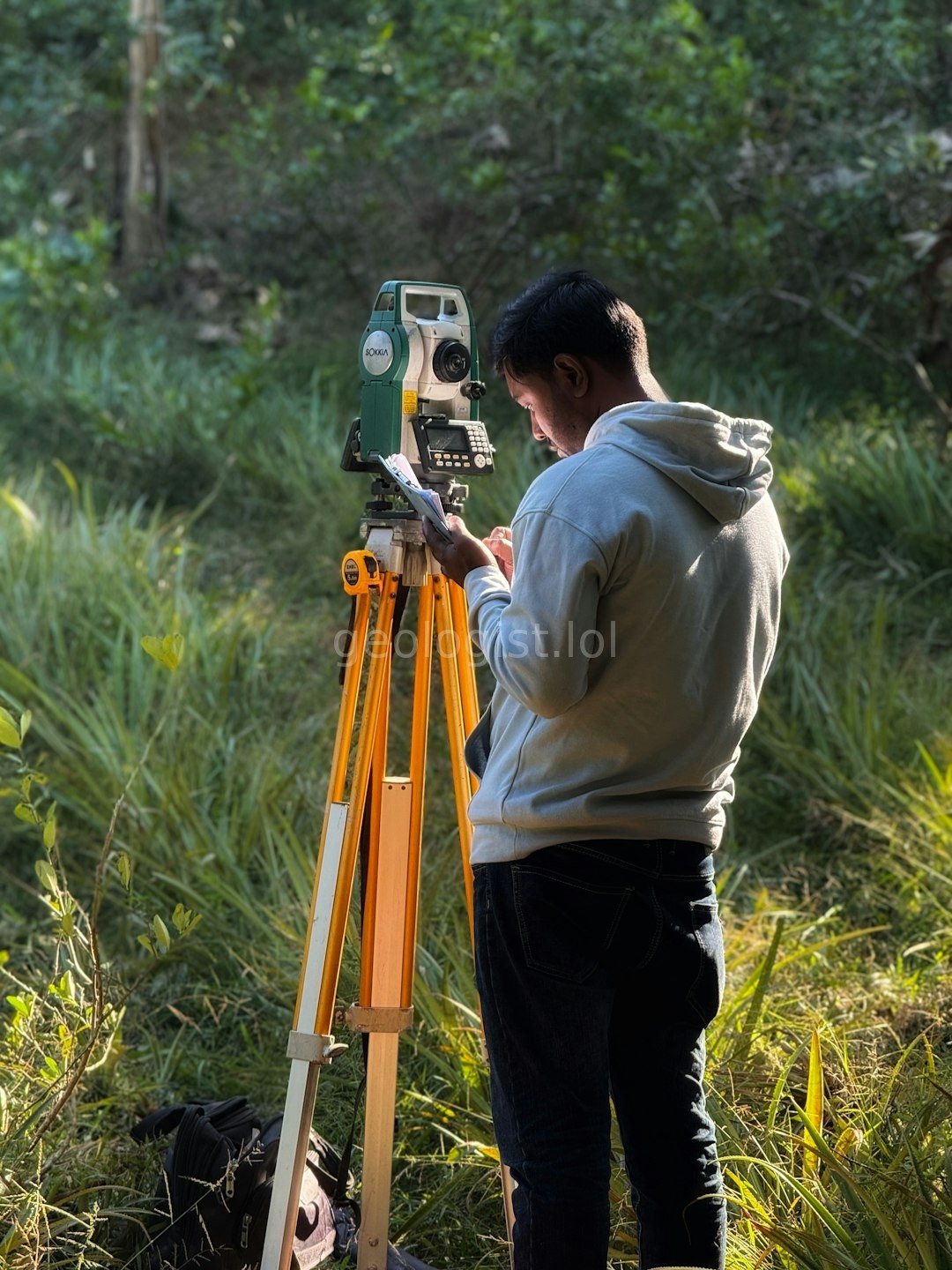
Precision tools and decades of experience at your service.

Establish exact property lines to prevent disputes and ensure legal compliance.

Detailed elevation and feature maps for architects and engineers.
Setting precise markers to guide your construction projects accurately.
Mica Land Surveying began with a simple goal: providing local landowners with absolute certainty through advanced geospatial technology.
To deliver unmatched accuracy in land measurement, empowering our clients to build, buy, and sell with complete confidence.
To be the most trusted name in land surveying across the region, setting the gold standard for precision and integrity.
Accuracy, transparency, and community respect. We treat every parcel of land as if it were our own.
See how we map your world.
Trusted by homeowners and developers alike.
"Mica Land Surveying provided the exact boundaries we needed before building our new fence. The process was seamless and professional."
"Their topographic maps were incredibly detailed, allowing our architects to design with perfect precision. Highly recommended for developers."
"Fast, reliable, and very communicative. They solved our property line dispute with clear, undeniable evidence. Absolute pros."