Analyze Earth, Uncover Value.
High-precision mineral rights surveying and topographical analysis designed for landowners seeking absolute certainty.
High-precision mineral rights surveying and topographical analysis designed for landowners seeking absolute certainty.

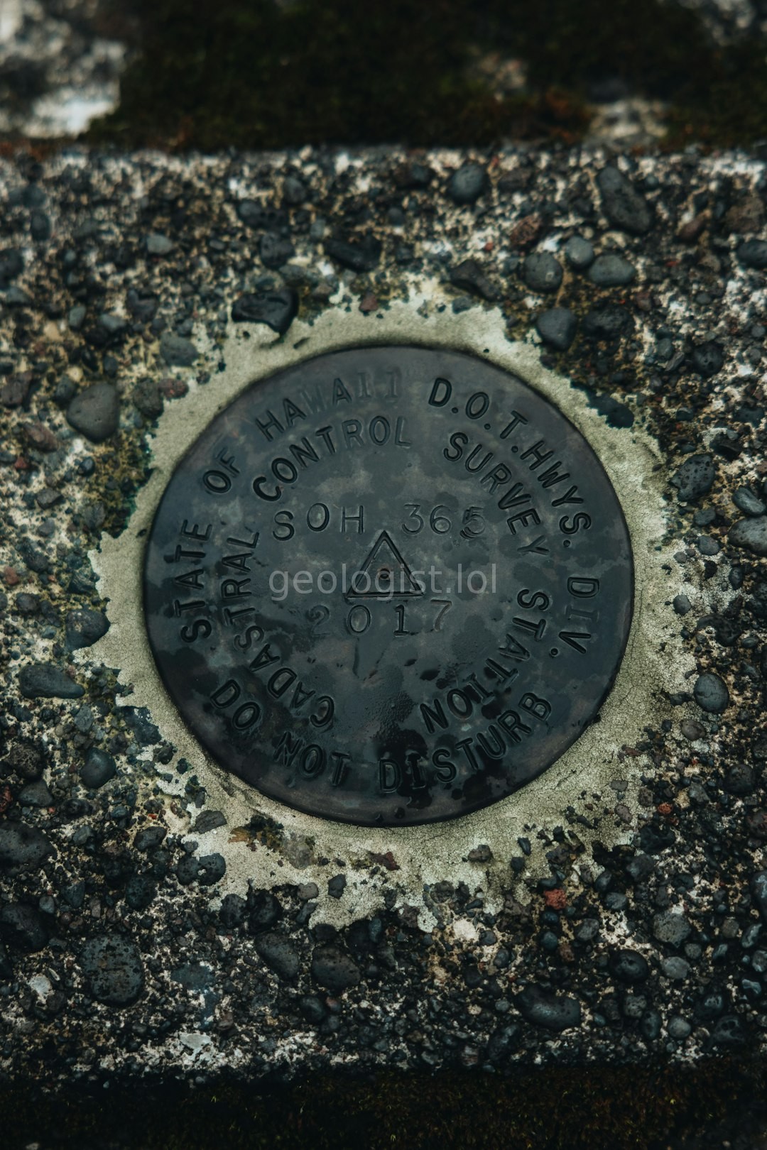
Defining precise boundaries for subsurface assets.
Resolving complex property line disputes with data.
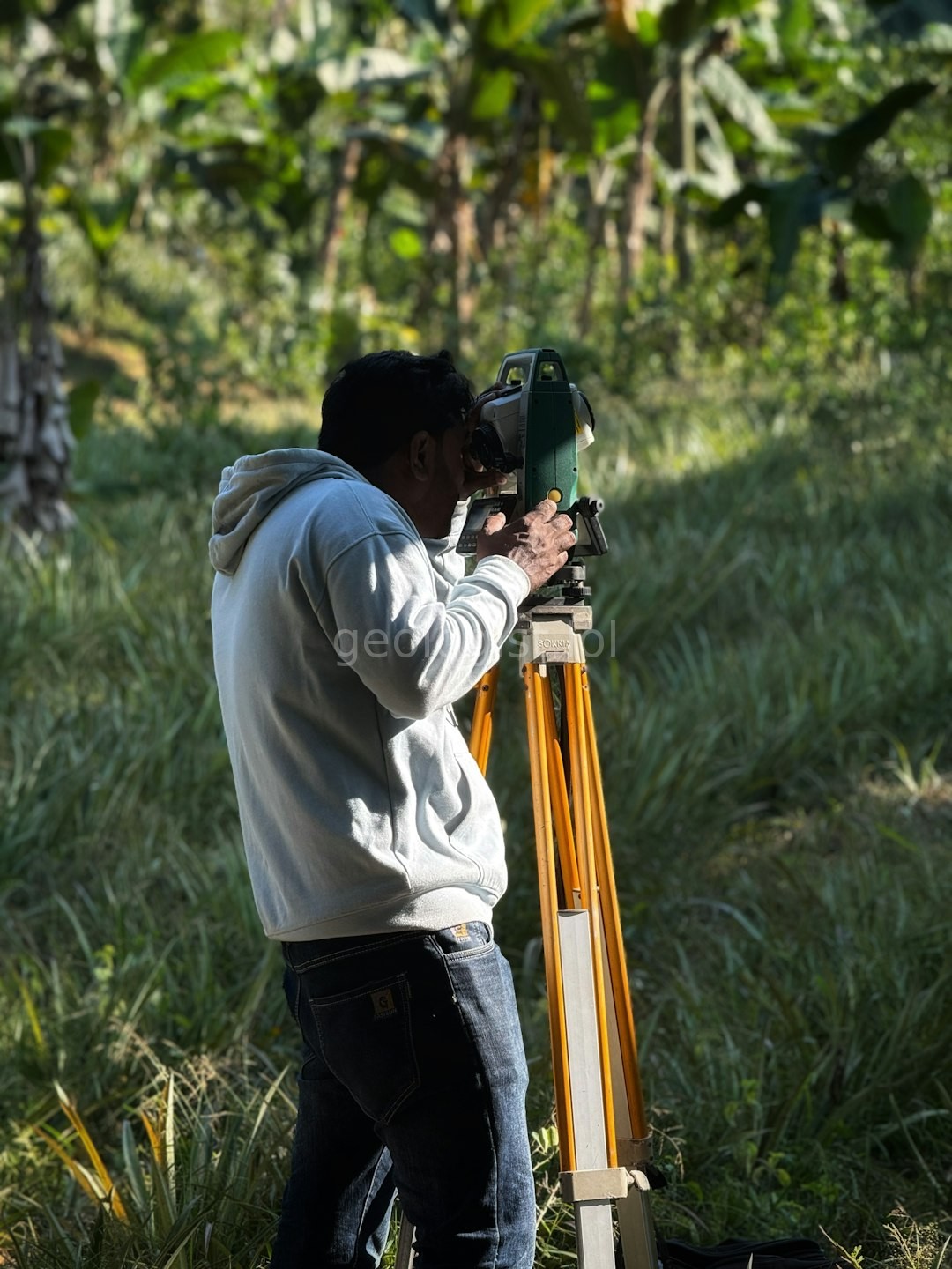
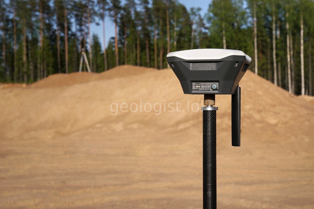
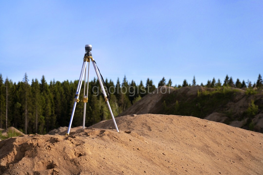
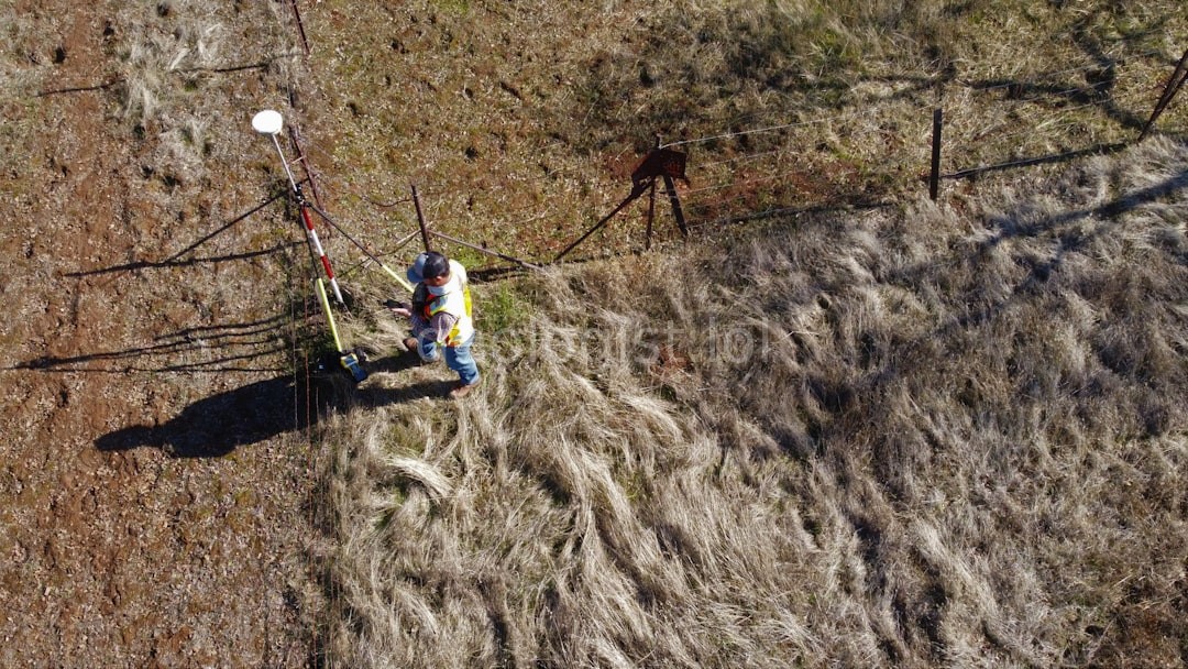
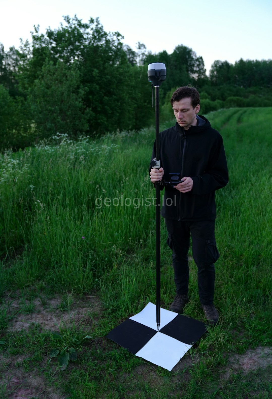
Detailed elevation and terrain mapping.
Preparing plots for future development.
Strata Circle was founded on a simple principle: that ground truth is the only truth. We bridge the gap between geological potential and legal certainty.
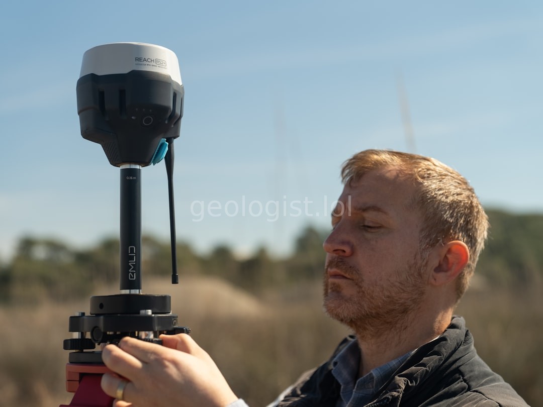
Decades of field expertise combined with state-of-the-art technology.
Empowering landowners with undeniable topographical accuracy.
Setting the global standard for mineral land intelligence.
Integrity, absolute precision, and client stewardship.

"The clarity Strata Circle provided regarding our mineral rights saved us months of legal headaches. Truly professional."
"Incredibly precise work. The topographical maps they produced were essential for our expansion plans."
"The team at Strata Circle understands the nuances of mineral land better than anyone we've hired."
Watch how we utilize advanced scanning technology to map complex terrain.
Secure your consultation with our senior surveyors.