Analyze Earth,
Uncover Value.
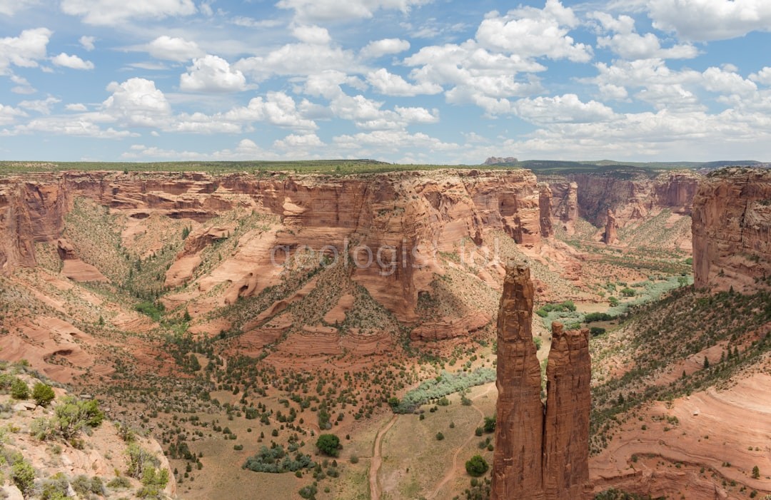
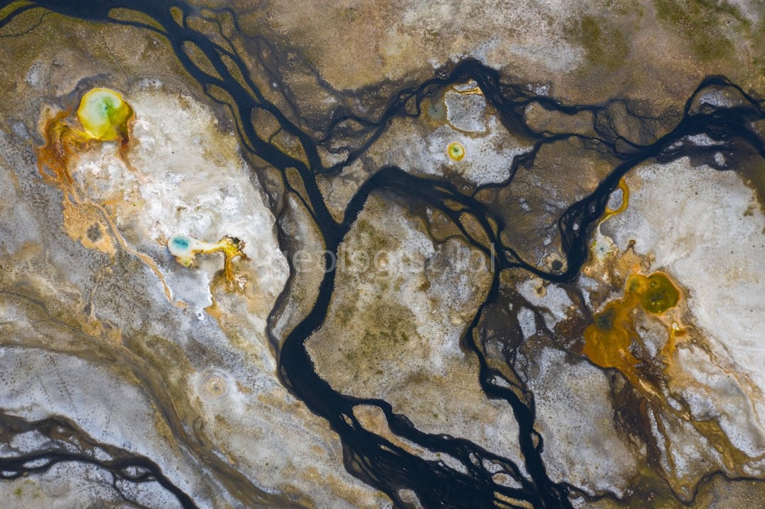
Providing precision alluvial geology assessments for developers, landowners, and resource managers seeking clarity in complex sediment environments.
Request Assessment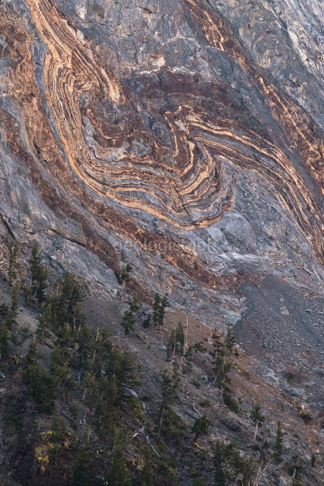
Providing precision alluvial geology assessments for developers, landowners, and resource managers seeking clarity in complex sediment environments.
Request Assessment
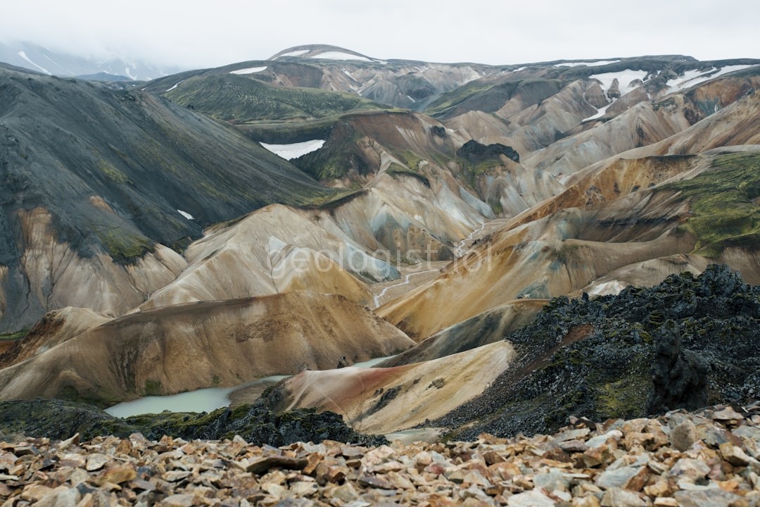
Identifying precise boundaries of alluvial layers for land development.
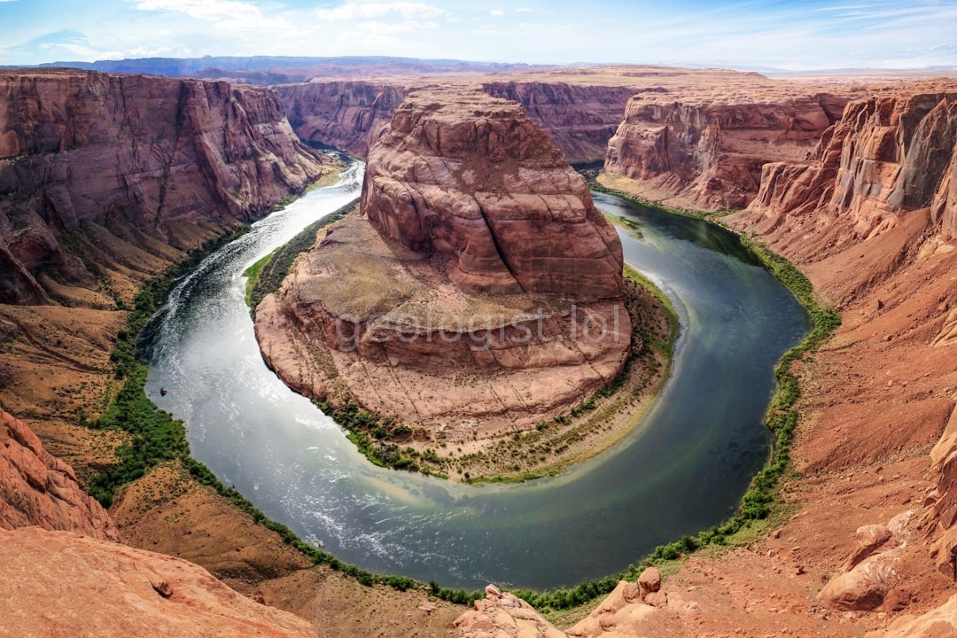
Assessing riverbed integrity and soil settlement risks.
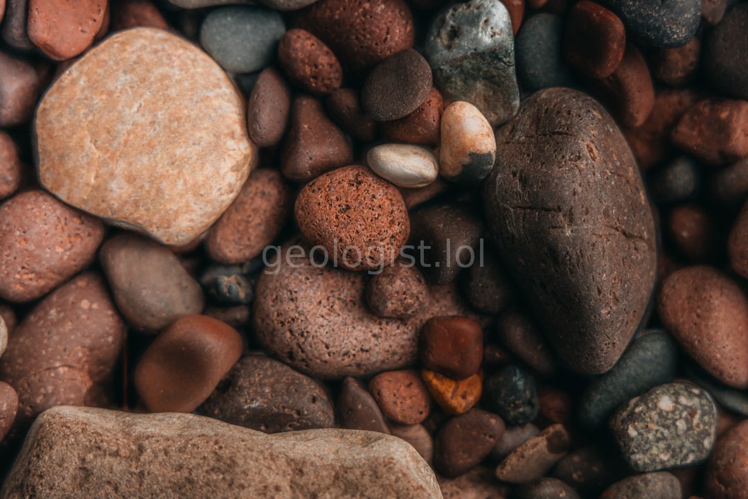
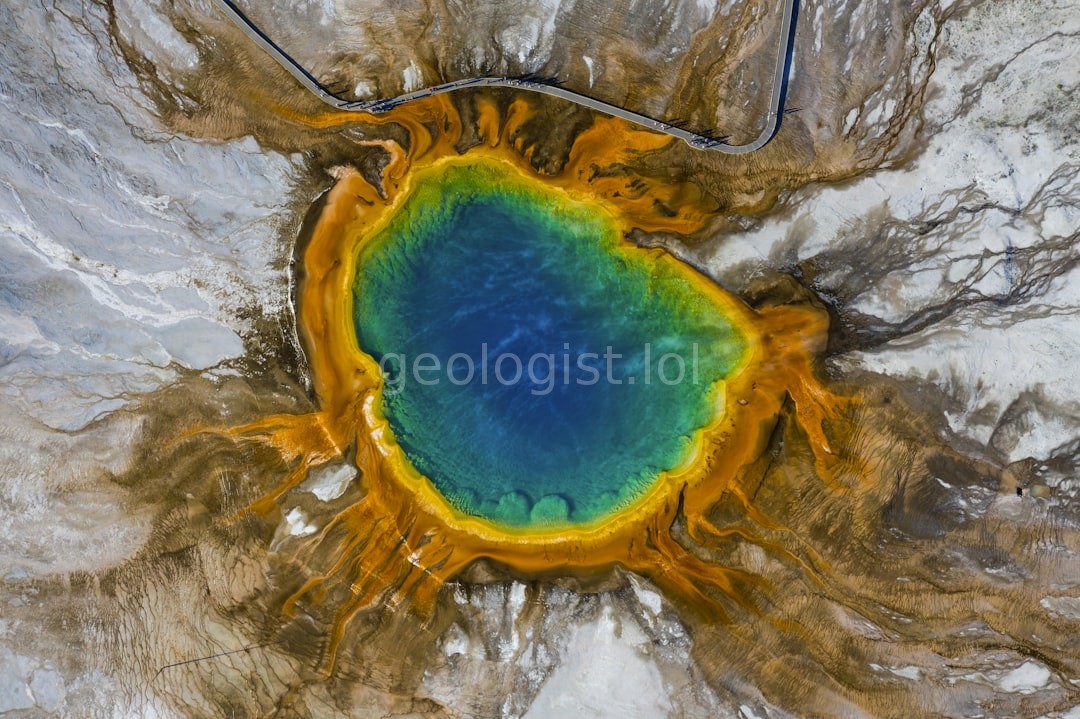
Locating high-value mineral deposits within fluvial systems.
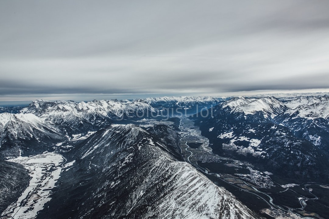
Predicting sediment transport and erosion patterns.
Strata Circle began with a single mission: to provide clarity to those working on the edge of shifting landscapes. We specialize in the intricate science of riverine deposits.
To deliver highly accurate geological intelligence that mitigates risk and unlocks the inherent economic value of alluvial terrains.
To become the definitive standard in sediment analysis, setting the benchmark for precision in geotechnical and mineralogical consulting.
Scientific integrity, unwavering precision, and a profound respect for the dynamic nature of our Earth's geological systems.
Trusted by developers and landowners worldwide.
"The precision in their soil stability report saved our construction project millions in potential foundation issues. Their team understands sediment dynamics like no one else."
- Marcus Thorne, DevCorp
"Strata Circle provided the mineral mapping we needed for our expansion. Their insights were the key to our resource acquisition strategy."
- Elena Rodriguez, Mining Ltd
"Professional, scientific, and incredibly thorough. They translated complex geological data into actionable business intelligence."
- David Chen, Land Holdings