Analyze Earth, Uncover Value.
Precision glacial geological assessments for landowners, developers, and environmental stewards.
Precision glacial geological assessments for landowners, developers, and environmental stewards.
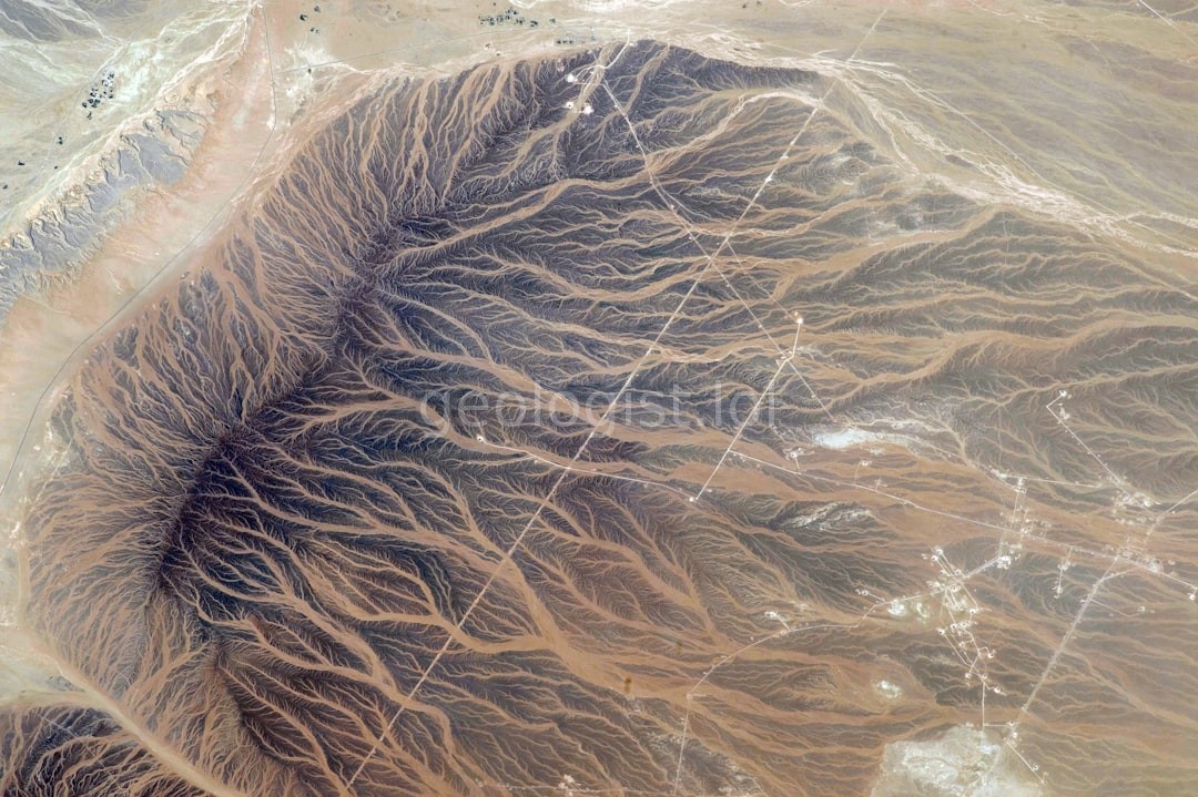
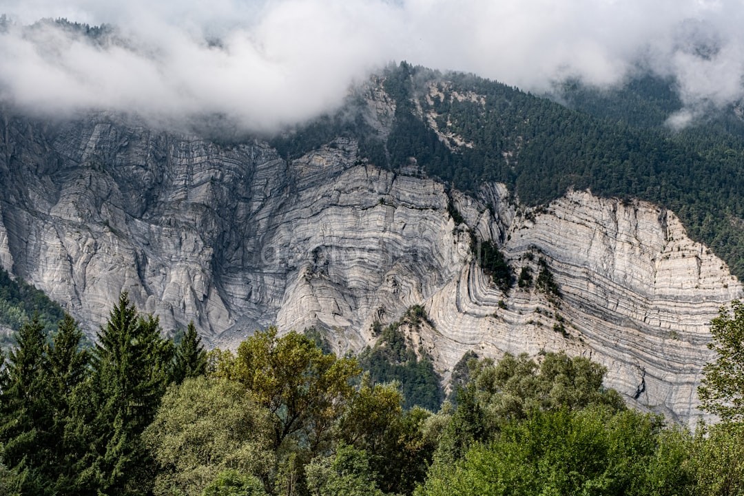
Detailed composition testing for soil stability and construction safety.
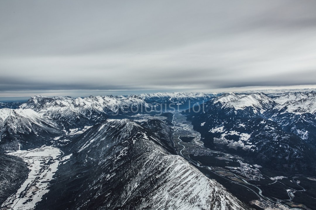
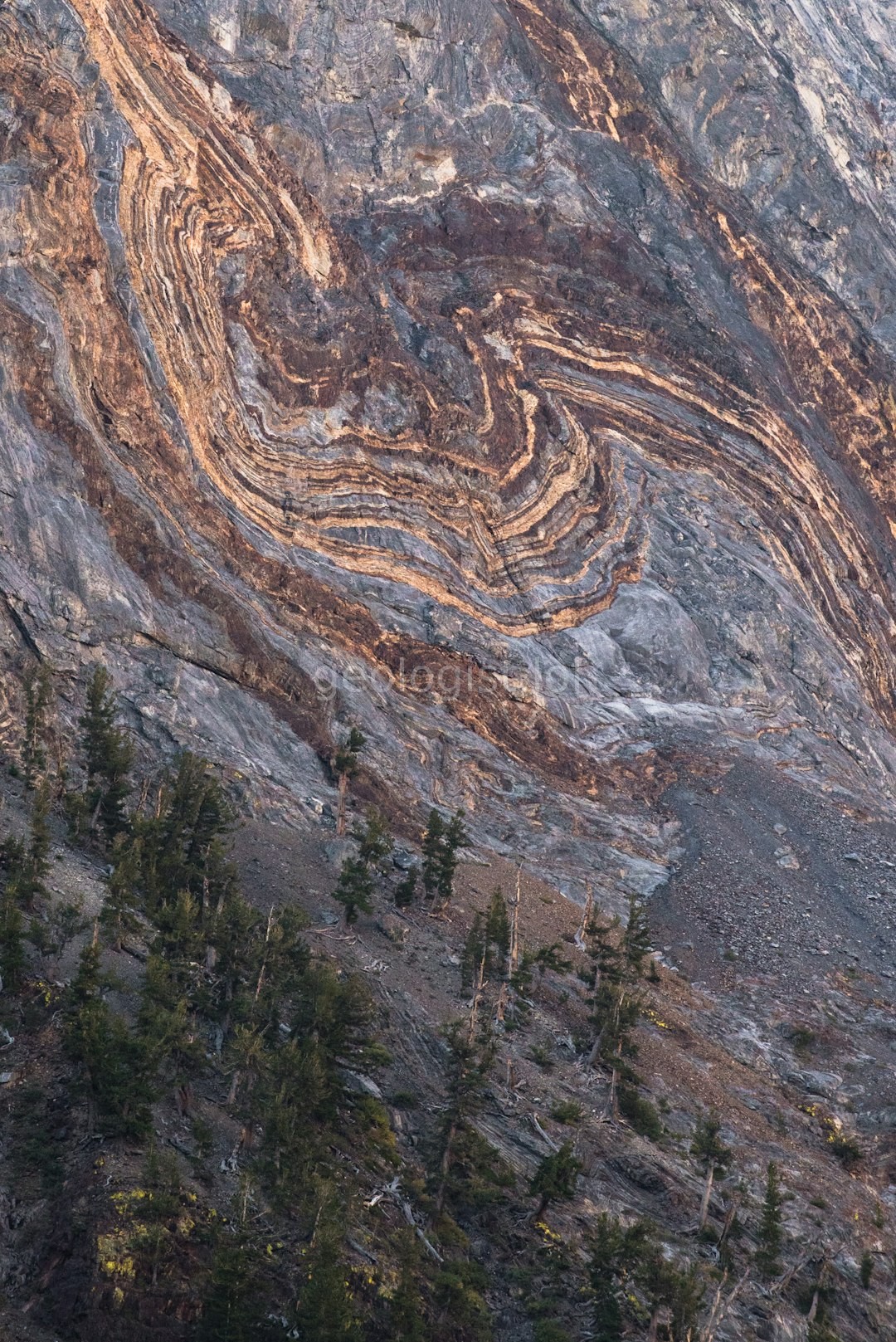
Mapping historic movement patterns to predict current landscape shifts.
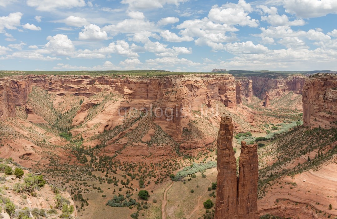
Identifying glacial deposits to define property boundaries and drainage.
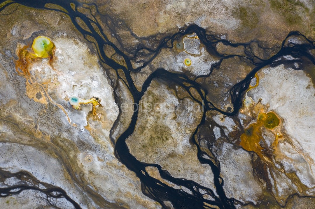
Monitoring thermal stability for infrastructure and environmental health.
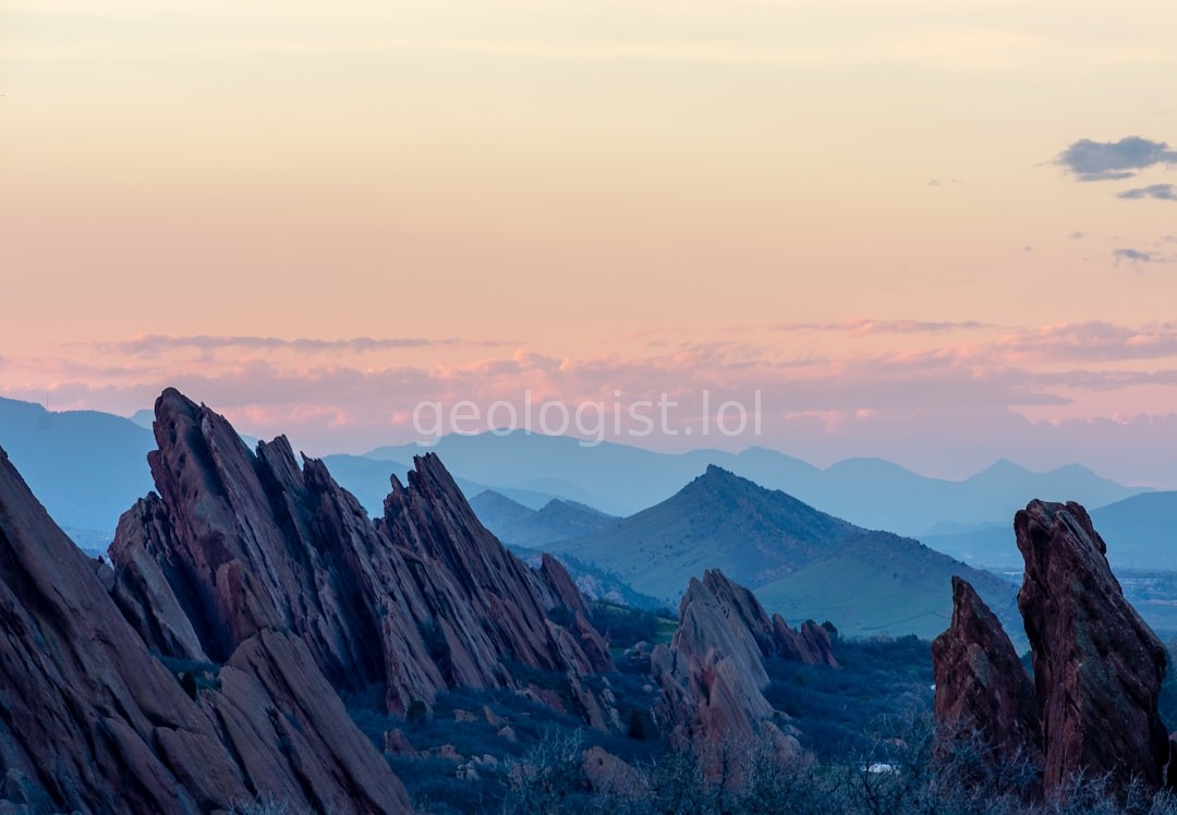
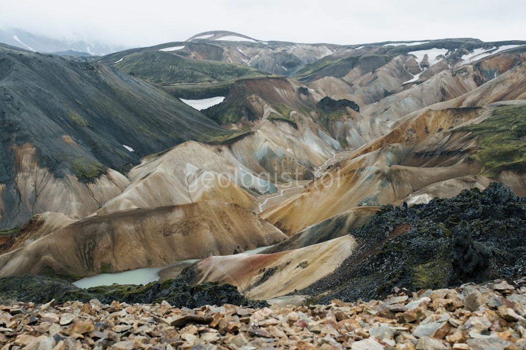
At Strata Circle, we look beneath the surface of modern landscapes to understand the glacial forces that shaped them. We provide clients with the clarity needed to develop, protect, and value their land with absolute geological certainty.
Born from decades of field research, we transitioned from academic study to professional land consultancy.
To provide actionable geological data that empowers responsible land management.
To be the definitive voice in glacial landscape intelligence and risk assessment.
Accuracy, integrity, and an unwavering respect for the natural world.
Trusted by developers and landowners alike.
"The sediment analysis provided by Strata Circle was vital for our construction planning. Their team found details others missed."
- Marcus Thorne, DevCo
"Incredible insight into how the glacial retreat shaped our property boundaries. It gave us peace of mind for our purchase."
- Elena Rossi, Landowner
"Highly professional team. Their mapping is second to none, and the report was extremely easy to interpret."
- Julian Vance, Civil Engineer
Follow Our Journey
Let's discuss your project requirements and geological needs.